Sustainable Transportation Planning
We believe in creating sustainable solutions for a cleaner world. Our team is highly skilled in developing active transportation and travel demand management plans, as well as designing pedestrian, cycling, and transit facilities. We have a proven track record of successful past projects, and we are dedicated to continuing to create innovative and community-centered solutions that inspire healthy transportation choices.
Public Projects
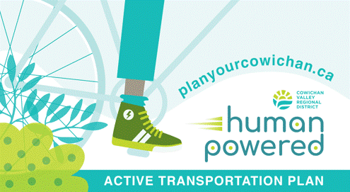
Cowichan Valley Regional District Regional Active Transportation Plan
This Regional Active Transportation Plan integrates existing and in-progress transportation plans, policies, and initiatives throughout the region while filling in gaps to create a cohesive and connected regional active transportation plan.
Our team participated in a regional tour with key stakeholders, one-on-one meetings, Technical Advisory Group workshops, and online and in-person Public Open House events. We provided recommendations that fit within the region’s existing capital work programs to inform active transportation design selection and project prioritization.
View Report
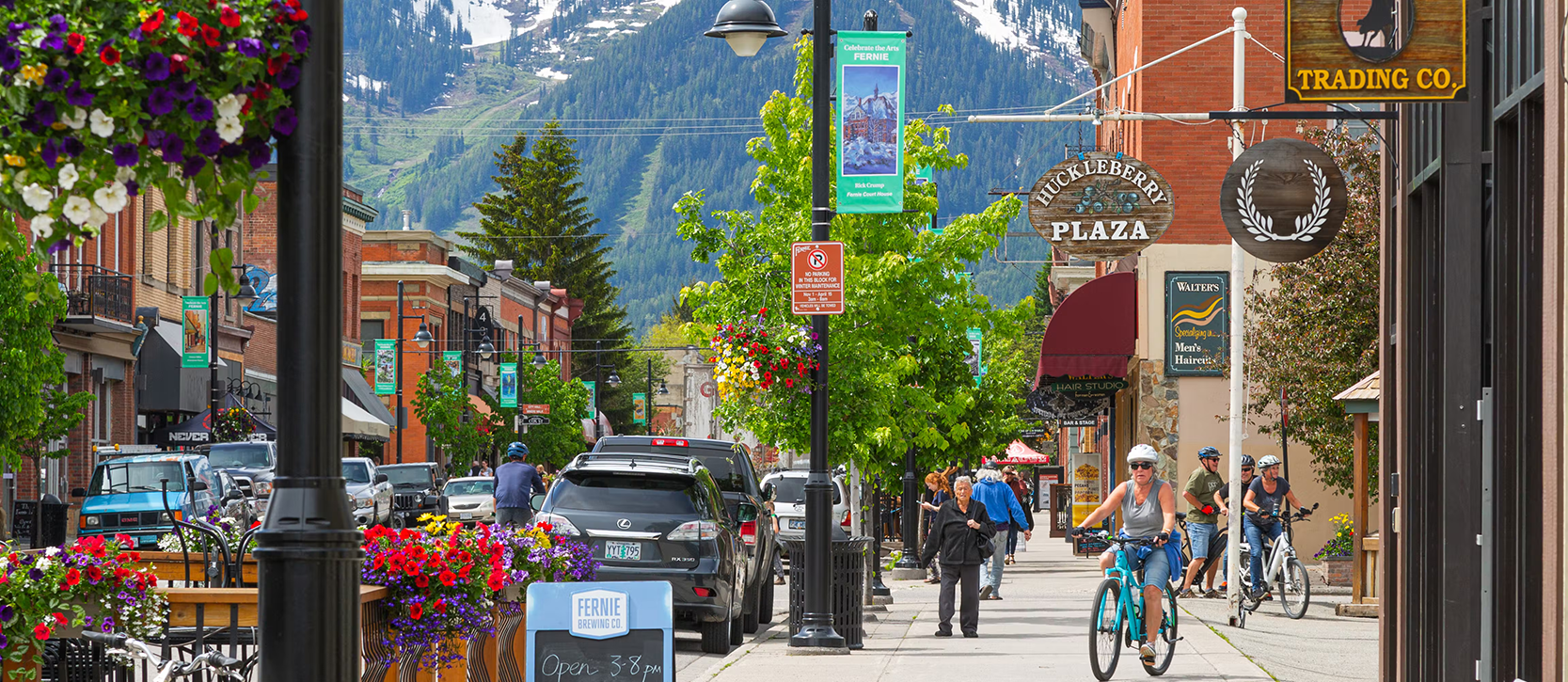 Image Source: City of Fernie
City of Fernie Active Transportation Master Plan
This Active Transportation Master Plan identifies transportation facilities that build on the City’s existing infrastructure and accommodate and benefit all Fernie residents and visitors regardless of travel mode. The plan builds upon the Fernie Master Plan and was developed to achieve the 2040 targets for transportation sustainability.
Our team met with various stakeholders and reviewed the needs of all transportation users. We identified a future pedestrian, rolling, and vehicle network with consideration of existing and future development areas. The plan also ranks infrastructure mobility improvements based on need, cost estimates, and community input.
View Report
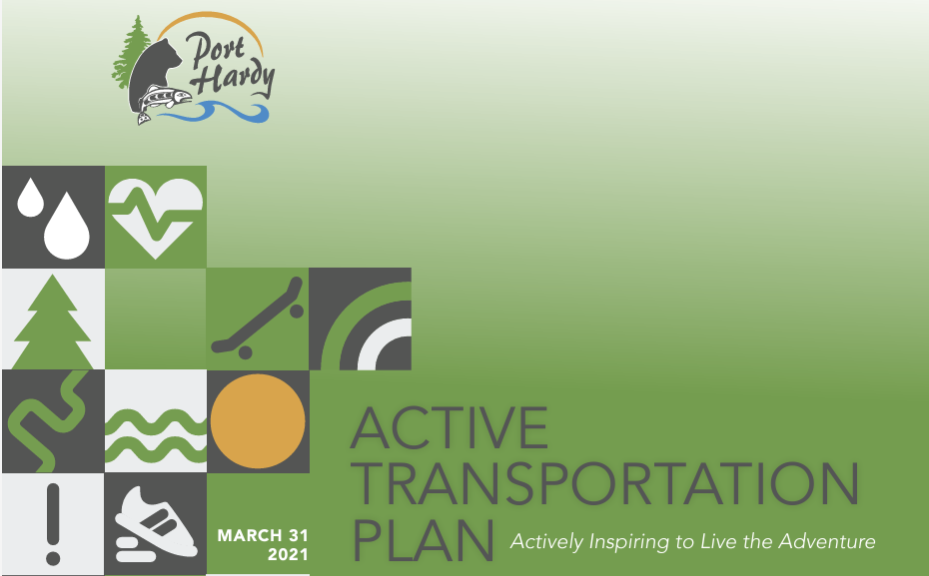
District of Port Hardy Active Transportation Plan
This Active Transportation Plan addresses the needs and requirements of the broadest range of potential users. The Plan is a living and ever-evolving document intended to provide direction for initial actions and a framework for guiding future initiatives.
Our team assessed the transportation network challenges and recommended opportunities for infrastructure upgrade projects to accommodate all ages and abilities. Our recommendations will improve Port Hardy’s walking and cycling network, help close gaps, and provide new links that are comfortable, safe, enjoyable, and functional.
View Report
Town of Stony Plain Active Transportation Strategy
The Town of Stony Plain is committed to improving its active transportation infrastructure. Improvements will further connect community destinations, and promote public health and safety, environmental sustainability, and social cohesion.
Our work resulted in an Active Transportation Strategy that identified gaps in the town’s trail and sidewalk infrastructure and a prioritized list of 44 specific implementation strategies. In addition to infrastructure improvements, our strategy included various location-specific tailored initiatives to promote and enable active transportation.
View Report
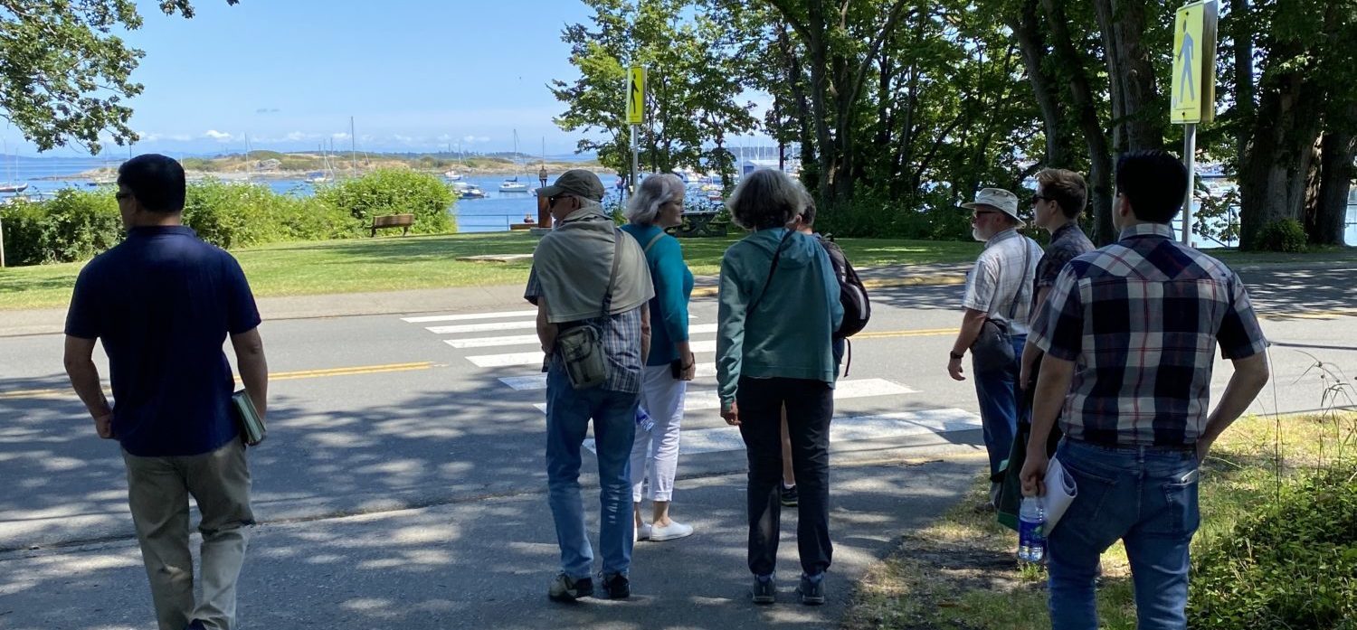
Image Source: Uplift Engagement Communications
District of Oak Bay Pedestrian and Sidewalk Master Plan
The Pedestrian and Sidewalk Master Plan will help to build an inclusive and connected pedestrian network that strengthens the quality of life for the Oak Bay community. Enhancing the pedestrian network will also help to improve connections between other modes, such as transit.
Our team completed a condition assessment of the existing sidewalks to update the District’s Sidewalk Priority Index. Based on community feedback on the key barriers to walking and studying traffic volumes, we developed a suite of design measures that could be applied to various locations to improve safety, comfort, enjoyment, and navigability for the citizens of Oak Bay.
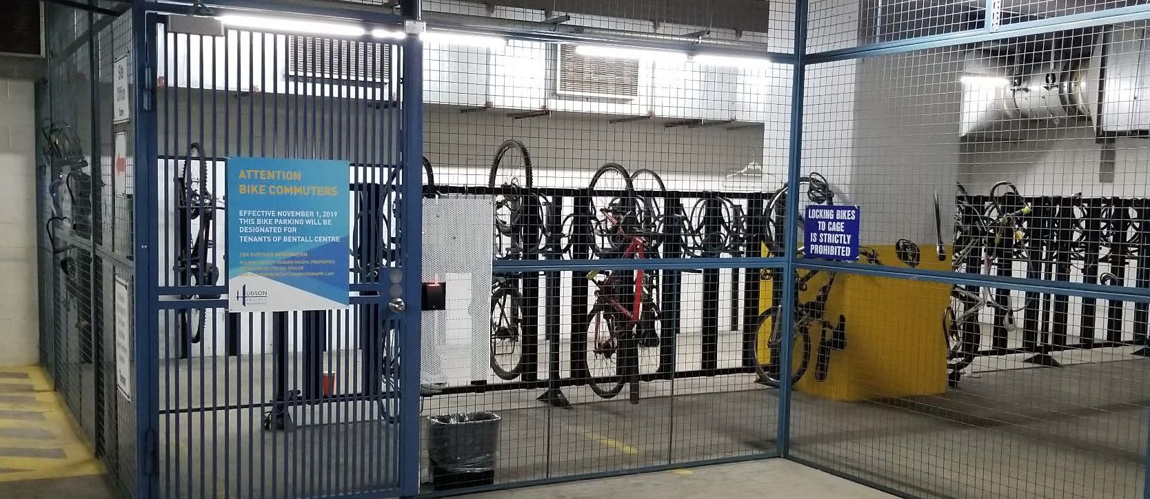
City of Coquitlam Bicycle Parking Design Guidelines
The Coquitlam Bicycle Parking Design Guidelines are an important tool for advancing the City’s sustainable transportation goals. The guidelines encourage active transportation through bicycle use and support the reduction of off-street parking within Coquitlam’s Transit Oriented Development areas.
Our team prepared the Bicycle Parking Design Guidelines to guide designers as they incorporate bicycle parking in new buildings and include city-wide bike parking and design requirements.
View Guidelines
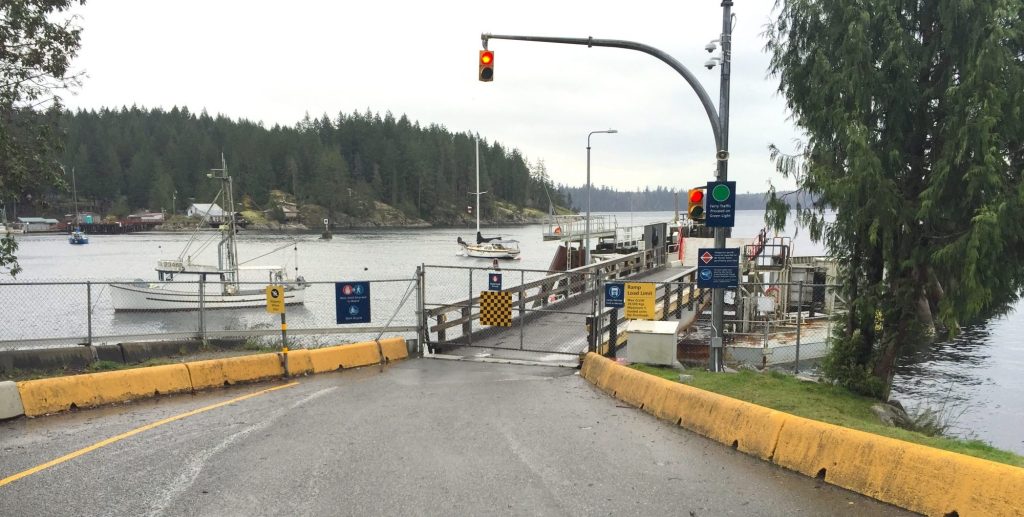
Cortes Island Transportation Demand Study
This project explored strategies to increase and enhance transportation options for Cortes Island residents and visitors, to reduce the Island’s contribution to greenhouse gas emissions.
Our team participated in a comprehensive public engagement process, including creating travel surveys for residents and visitors. Recommendations included implementing a Transportation Demand Management Task Force, Car-stop and Green Rider programs, bike facilities, EV charging, ride-share funding, Quadra Island crossings, and walking routes. Community members supported the study and helped guide its initiatives.
Private Projects
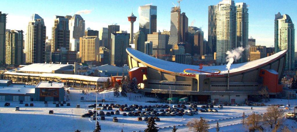 Image Source: Daven Froberg/Unsplash
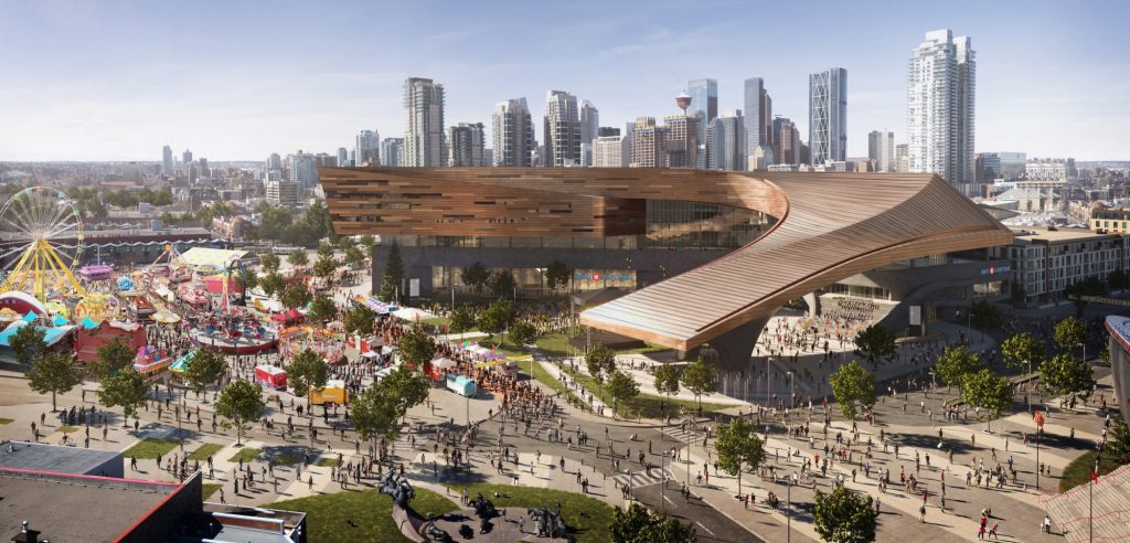
Stampede Park Mobility Study
Stampede Park is the home of the 10-Day Calgary Stampede and many other large festivals and events. The $500 million BMO Convention Centre Expansion in Stampede Park will bring more visitors to the area, increasing transportation demand.
Our team developed a Mobility Study for Stampede Park to identify existing and future event frequency, review active transportation links, assess transit options, and identify temporary event management for the Calgary Stampede. The mobility study identified gaps in the network for cyclists and confirmed that an internal transit route is not viable due to congestion/event roadway closures.
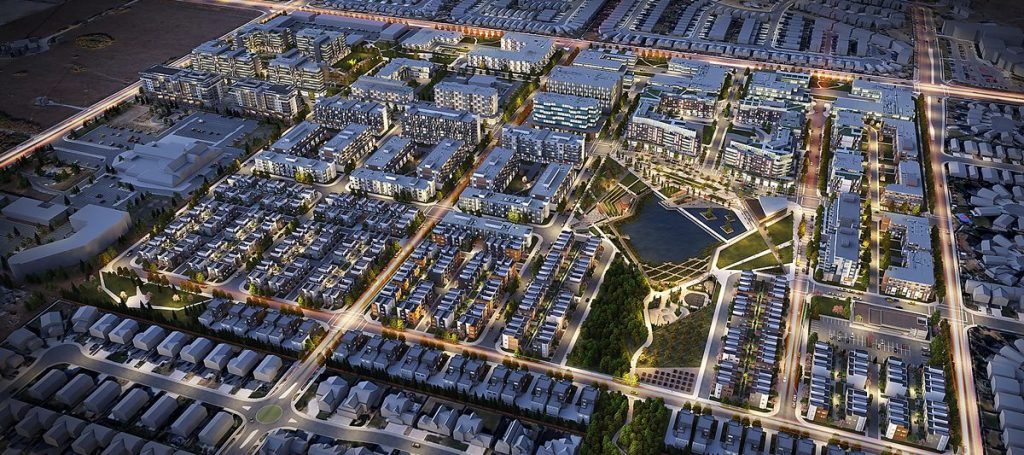 Image Source: S2 Architecture
West District Master Plan
The West District will be a high-density activity centre on a 95-acre site. The development will add approximately 2,500 dwelling units, 4,600 new residents, and 3,600 jobs.
Our team identified several transportation improvements to accommodate the proposed densities in the development. Our work resulted in a Master Plan that prioritizes pedestrians and cyclists. Direct connections between destinations, short block lengths, a high density of intersections, and a public realm make walking and cycling the most convenient way to travel.
Banff Trail Active Redevelopment, Calgary
Banff Trail is designated as a Transit-Oriented Development area in Calgary’s Growth Management Framework due to the area’s proximity to Banff Trail LRT station and the University of Calgary. Five redevelopment projects in the area were proposed, with over 300 housing units.
Our Transportation Impact Assessment for Banff Trail identified sufficient vehicle capacity to accommodate the proposed developments; however, areas for improvement with pedestrian crosswalks and cycling connectivity were also identified. As a result, the City of Calgary implemented new separated cycling facilities, improved sidewalks, and controlled crosswalks.
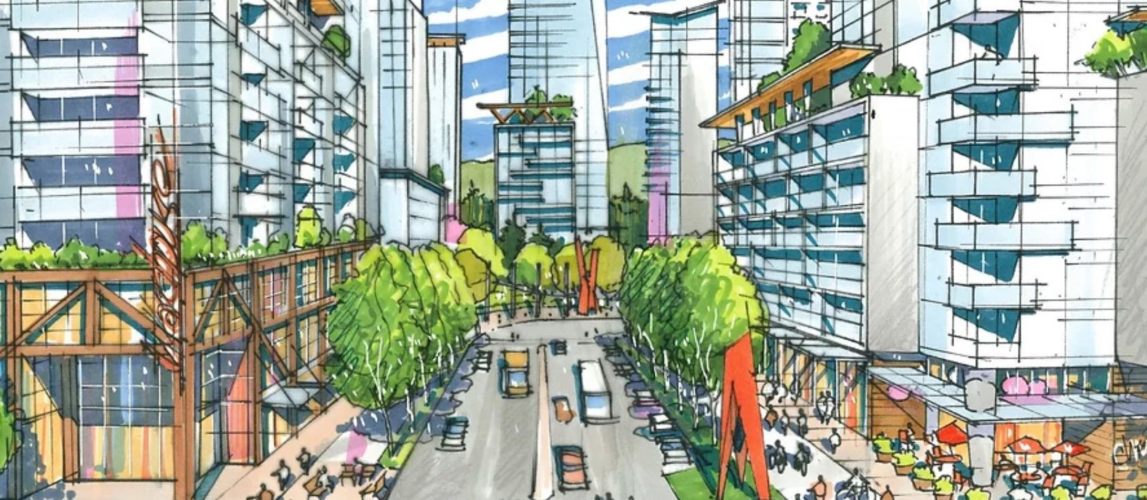 Image Source: QuadReal Property Group
Sapperton Green Master Plan: Braid Station Transit Exchange
& Access Reconfiguration
This 30-acre, high-density, mixed-use development was proposed adjacent to the Sapperton Skytrain station. The site faced significant challenges, including frequent train crossings at a nearby intersection, proximity to several other congested intersections, and poor accessibility to a busy regional roadway.
Our team completed site access development work to ensure that bus travel times would not be materially impacted and to demonstrate that the existing bus slip roads could function satisfactorily when shared with vehicle traffic from the development.
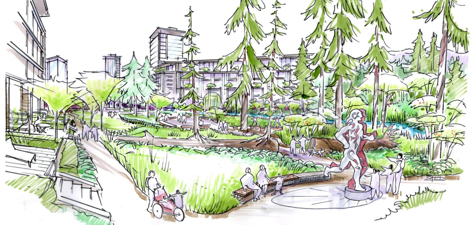 Image Source: Canada Lands Company
Heather Lands Rezoning, Vancouver
The Heather Lands is a 21-acre site centrally located in Vancouver, BC, on unceded traditional territories of the Musqueam, Squamish, and Tsleil-Waututh Nations (MST).
Rooted in the processes of reconciliation, the project vision is to recognize the traditions, culture, and values of the MST and to create a sustainable new neighbourhood that will be a place to welcome and connect all people for generations to come. Pedestrian and bicycle networks form a key component of the sustainable design vision.
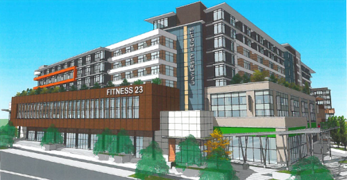
University Heights Revitalization Multi-Modal Transportation Plan
The University Heights Shopping Centre will be redeveloped to become a complete community with new rental housing, grocery, retail, a daycare, publicly accessible greenspace, and improved circulation.
Our team worked on a multi-modal transportation plan for the proposal, emphasizing pedestrian experience and connections to bike lanes, transit, and car share.
 Images Source: Calgary Municipal Land Corporation
BMO Centre Expansion Mobility Study, Calgary
The $500 million BMO Convention Centre Expansion within Stampede Park will enhance Calgary’s capacity to host larger events and boost the city’s economy. The Centre’s location within the vibrant Rivers District meant that considerable attention needed to be placed not only on the movement of private vehicles but also on pedestrian movements, active modes, transit, and LRT services.
Our team developed a mobility study to address the expected increase in year-round transportation demand from the expanded BMO Convention Centre and assess the adequacy of active transportation connectivity.
University of Alberta Greenhouse Gas & Commuting Survey
University of Alberta Energy Management and Sustainable Operations (EMSO) sought to collect the necessary data to calculate greenhouse gas emissions generated by student and staff commuter travel.
Our team developed surveys for the EMSO group on multiple occasions to gather data on modal split, travel patterns, and commute satisfaction. Our work included survey data reduction, analysis, a comparative review, and study documentation. The study results allow the University of Alberta EMSO to continue tracking greenhouse gas inventory data related to travel behaviour over time.
bconnected - Research & Development
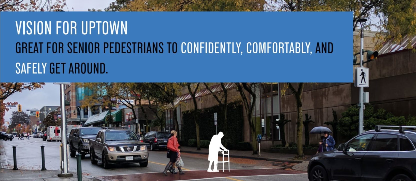
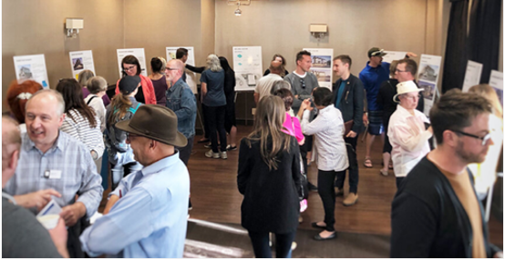
Great Streets for Seniors in Uptown New Westminster
Our team sponsored and managed a student team at UBC’s School of Community and Regional Planning (SCARP) to deliver a neighbourhood-wide planning and data-intensive safety study focused on the mobility of seniors.
The project combined qualitative and quantitative data collection to identify streetscape deficiencies and inform over 130 recommendations to make the streetscape environment safer and more comfortable for the senior population — and by extension, everyone.
View Report
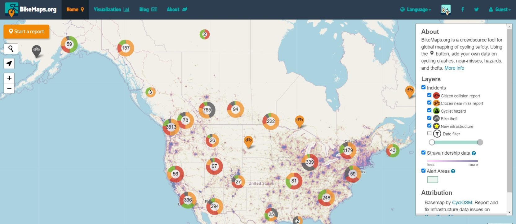
Great Cycling Safety With BikeMaps.org
BikeMaps.org is a global mapping system that allows citizens to map cycling incidents and report on the nature of the event. The platform was developed by Dr. Trisalyn Nelson’s team at the University of Victoria. Attributes collected are designed for spatial modeling research on safety and aid planning predictors.
Our team worked with BikeMaps.org on research, cycling infrastructure best practices, and safety on the Galloping Goose Regional Trail. We also partnered with the University of Victoria and Simon Fraser University to use BikeMaps.org to study cycling safety in Vancouver.
Informing Active Transportation Design in Real Estate Development
HUB Cycling partnered with The Real Estate Foundation of BC, our team, and other stakeholders to research innovative active transportation designs and policies for real estate development projects.
Our contribution to the initiative included identifying information gaps related to active transportation infrastructure in multi-family residential and mixed-use commercial developments in Metro Vancouver.
View Report